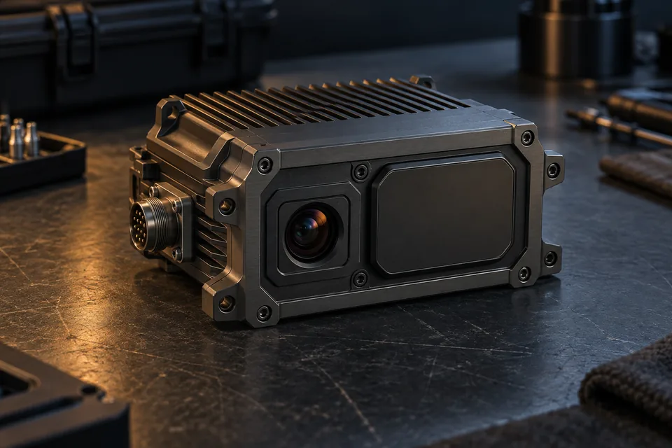
 AI concept
TrackFusion
Inertial navigation is primary, with compass heading assistance. Radar terrain matching corrects drift and thermal scene matching cross-verifies the position.
- Radar terrain matching — drift correction
- Thermal scene matching — position cross-check
- FPGA payload architecture — host retains flight control
 AI concept
RECONN.EARTH
Reference imagery preparation with SAR-to-optical and optical-to-thermal conversion, tiling and caching for onboard navigation.
- SAR-to-optical and optical-to-thermal conversion
- One-shot small-object detection
- Cloud, on-premise or air-gapped
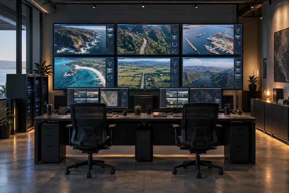 AI concept
OspreyVMS
Self-hosted video management with live feeds, recording and evidence storage. Drone integration is in development.
- Live wall for multiple video feeds
- Legal holds and evidence management
- Media encryption at rest and in transit
Nav Planner
Select a destination and waypoints, calculate and review the route, then export the flight plan. Reference packaging and onboard loading complete the planned Shoal-OS integration.
- Route planning and review with terrain and mission constraints
- QGroundControl .plan import and export
- Mission and imagery deployment — planned integration
 AI concept
Collective Layer
Planned: one navigator provides a shared position reference. Group members exchange ranging and capability data to coordinate their tasks.
- Navigation payload carried once per group
- Heterogeneous groups — lift, sensing, navigation split
- Underwater extension with sonar, planned
See the full operating system architecture.
L0 hardware abstraction through L7 Partner SDK, with time, security and logging across the stack.